

One of the BEST ways to explore the unique charms of the Cuyahoga River Valley is by bike! The 101 mile Ohio and Erie Canalway Towpath Trail, the Ohio to Erie Trail, Cleveland Foundation Centennial Lake Link Trail, and Cleveland’s expanding network of connected off-road trails provide many routes to explore Cleveland’s cultural heritage and industrial landscape. Over the last month a number of trails, including the Red Line Greenway, Cleveland Lakefront Bikeway Connector, Whiskey Island Connector, and the Wendy Park Bridge have come on-line.
While there are ample ways to explore the river valley and Cleveland’s lakefront by bike, connecting the dots between various trail segments can be a small challenge. To help your planning, we’ve assembled maps of the various trails to help you navigate your way. This page is a work in progress so if you see a gap in the information we’ve provided, let us know!
Franklin Blvd. Hill Detour/Ohio to Erie Trail Connection with Cleveland Foundation Centennial Lake Link Trail and Towpath Trail

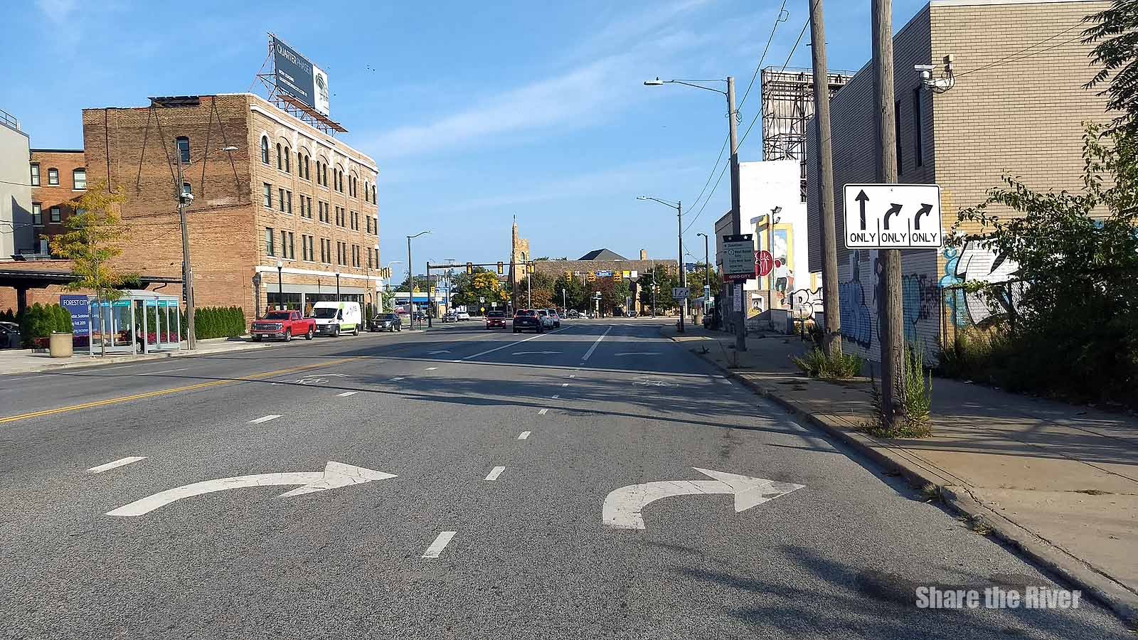
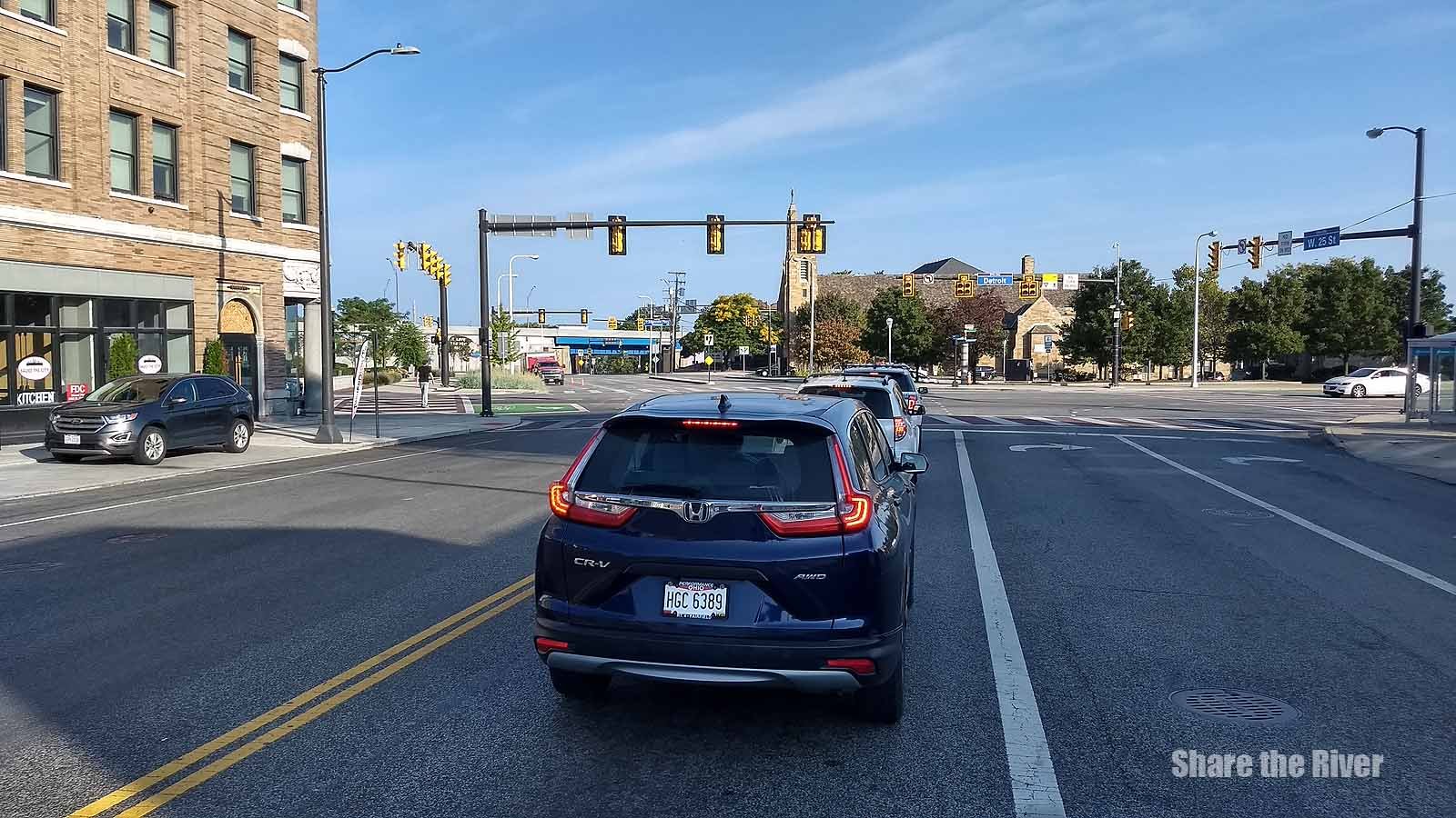
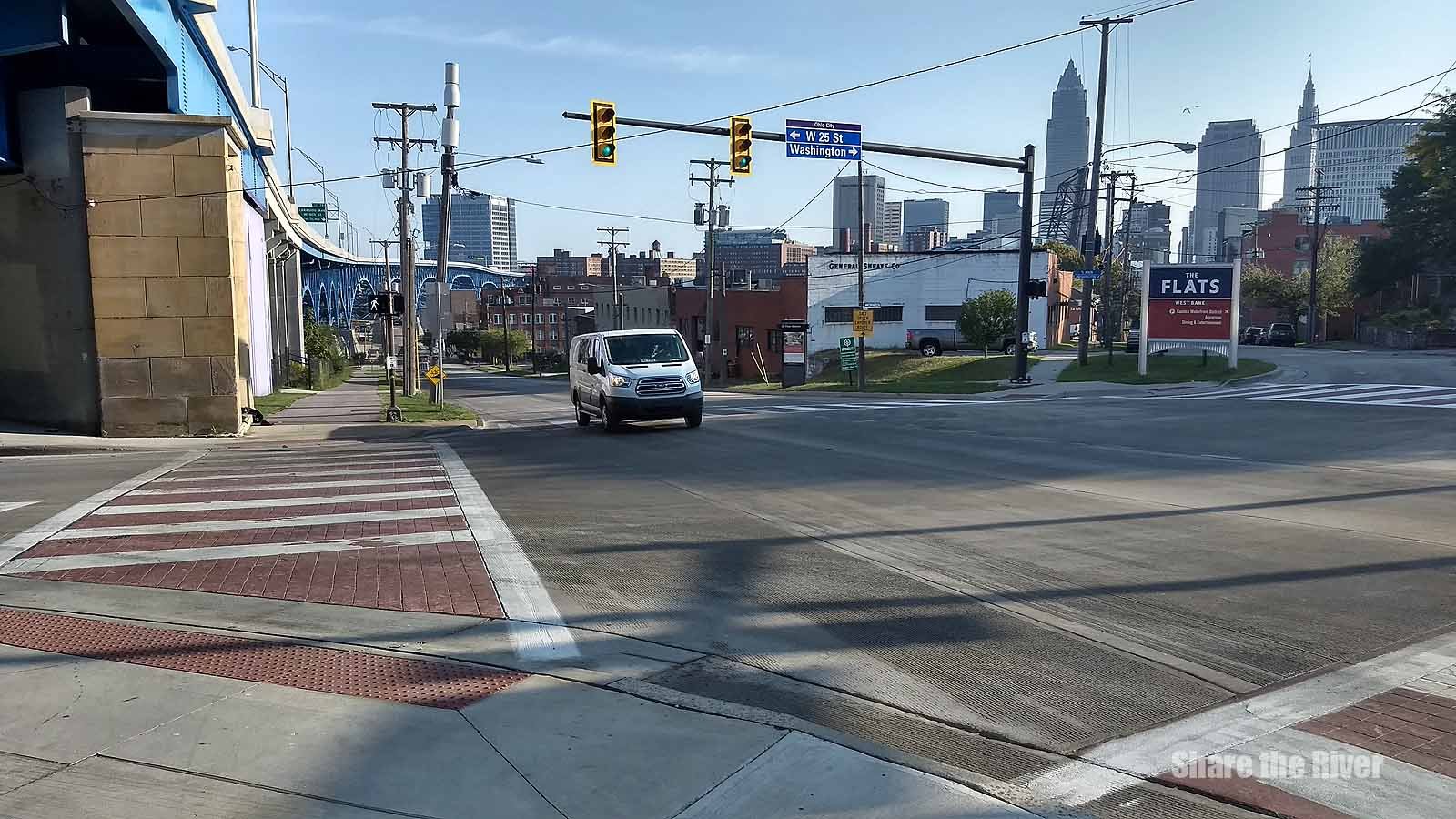
The long-awaited start on the stabilization of the Irishtown Bend hillside has finally begun. Franklin Blvd. a key connector from 25th St. to Columbus Rd. has been shut down until fall of 2025. Just Friday on our ride to a meeting we saw two riders (Nancy and Marilyn from Seattle) at the intersection of W. 25th and Franklin who were just two miles into their planned 7-day, 326-mile cycling adventure on the Ohio to Erie Trail.
A brief conversation had these two quickly on their way so we decided to connect the dots for other riders who are surely coming from both the north and south. If you still have a question or want to share suggestions on how we can make the detour directions clearer, click on the button below to send us an e-mail!
Details on the stabilization project:
“After stabilization is complete, there are plans to select a separate contractor to lead a development project to transform the area into a 23-acre public park bringing the total cost of the project to more than $100 million.”
Yay! Center Street Swing Bridge is now OPEN so we’ve updated our maps.
Hospitality stops along/near your ride:

tiger trails project map

TIGER connectors map

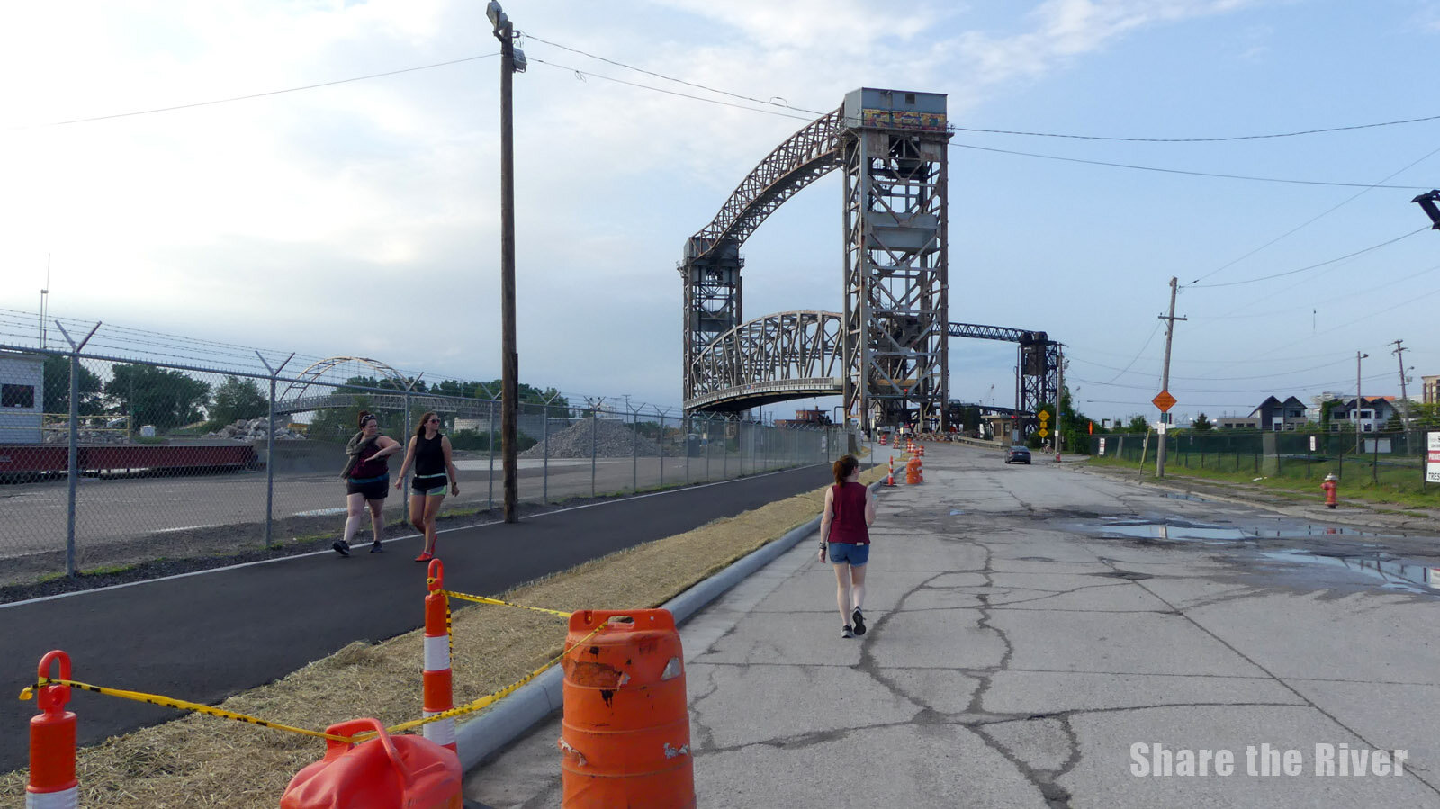
wendy park bridge

Whiskey Island Connector

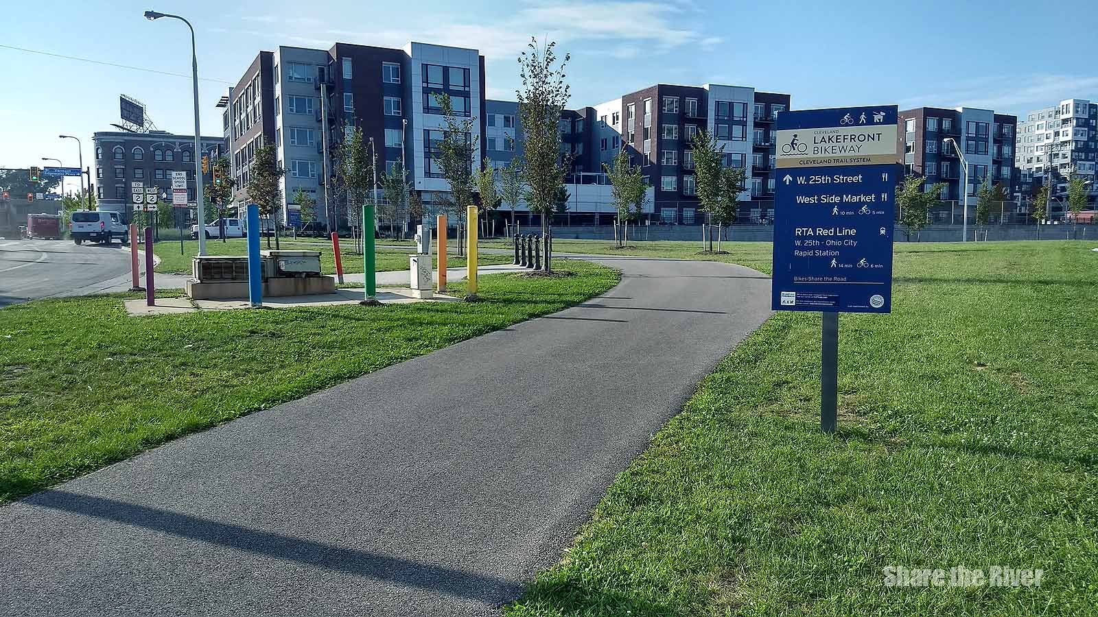
RED LINE GREENWAY
Ohio to Erie Trail Overlay on Cleveland’s Evolving Trail Network
ohio to erie trail and cleveland bike trail connections
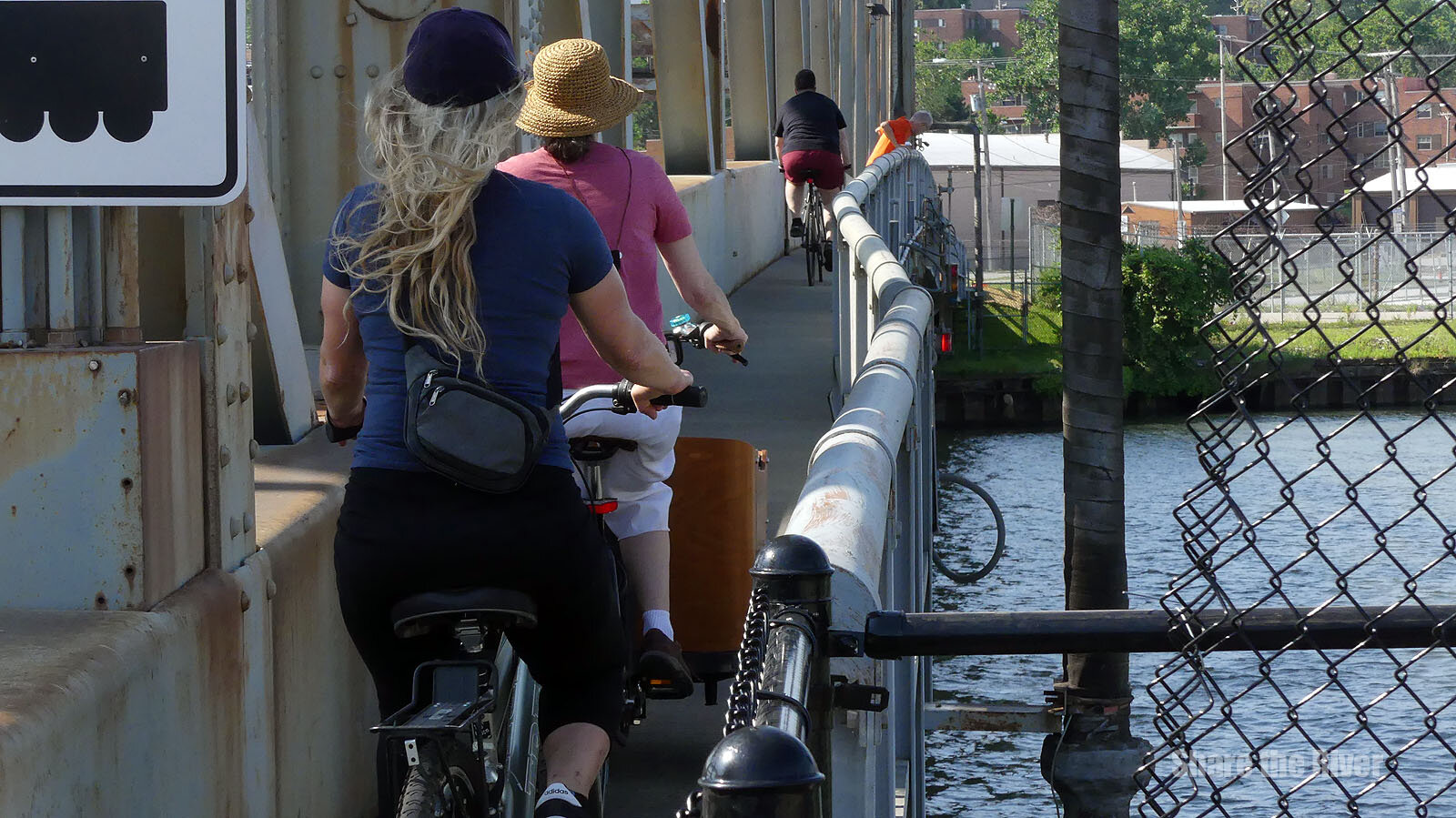
The Wendy Park Bridge is using the existing west/downriver side of the Willow Ave. Lift Bridge sidewalk to connect the dots from the Flats west bank to the lakefront. The sidewalk is only 40” wide so, as the sign notes, “be a good neighbor”.
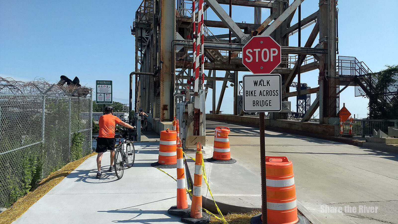
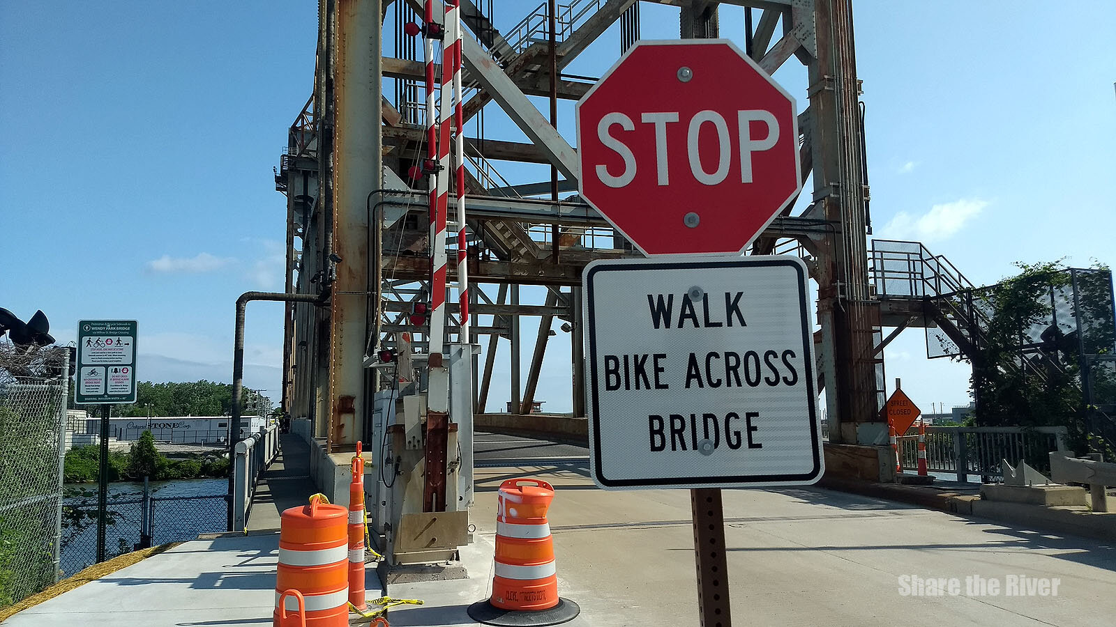
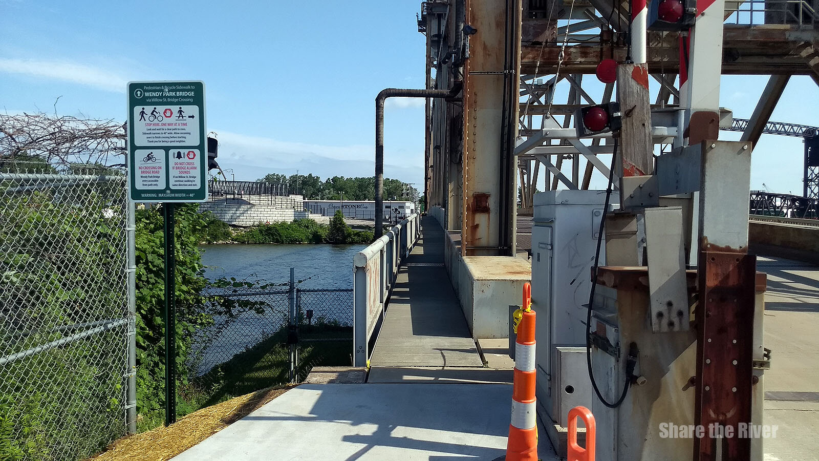
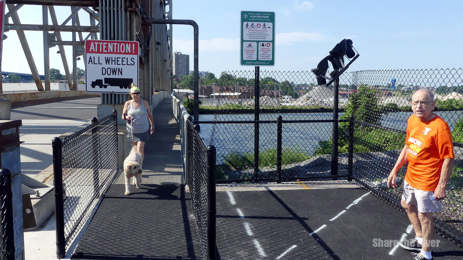
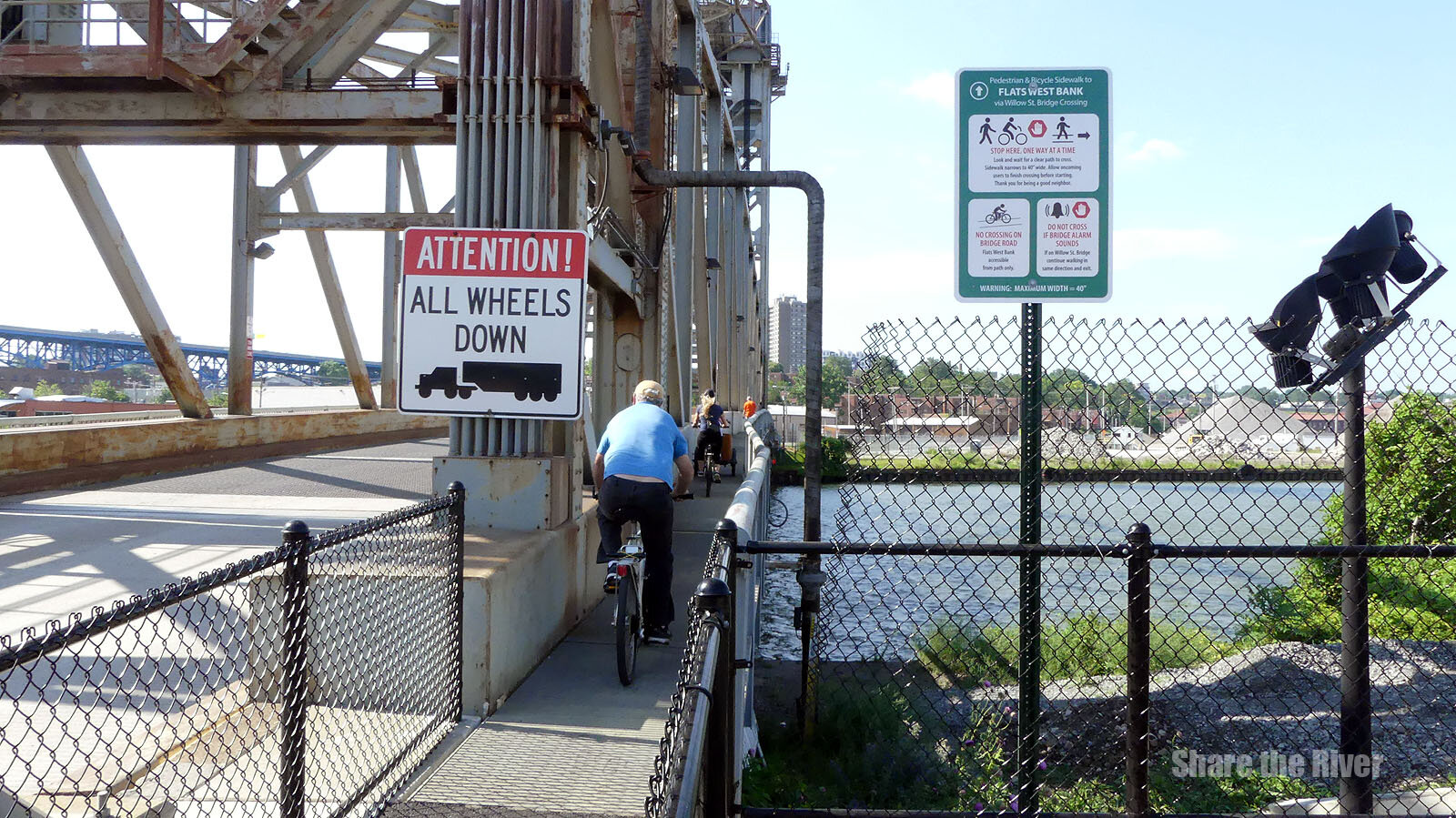
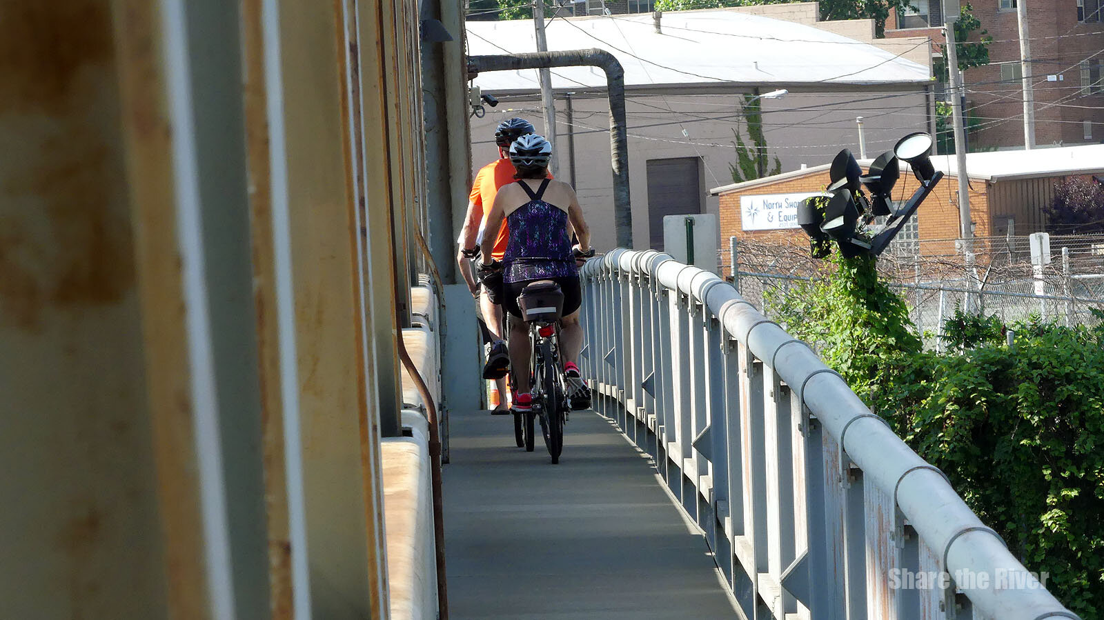
Photos courtesy of Branden Ve show how access to the Willow Ave Bridge sidewalk is now limited to the southern end of the Willow Ave. Bridge and the northern end of the Whiskey Island Bridge. This is intended to reduce the interactions between bicycle traffic and vehicles servicing industrial stakeholder operations on Whiskey Island.